

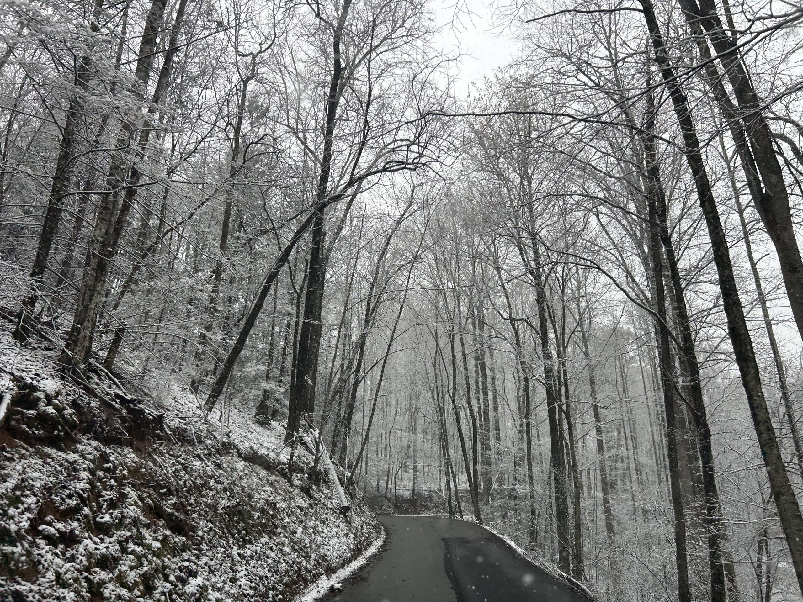
(SEVIERVILLE, Tenn.) SMOKIES.LIVE – Snowfall across the Smokies is expected to continue through early Tuesday with several inches of accumulation expected in areas.
Lower elevations will collect one to three inches while higher elevations could be five inches or more.
A Winter Weather Advisory continues until 2 a.m. Tuesday for the Smoky Mountains.
NWS STATEMENT
IMPACTS...Plan on slippery road conditions. The hazardous
  conditions could impact the Monday evening commute. Gusty winds
  could bring down tree branches.
Snow will continue in Gatlinburg on the Tennessee side until mid-morning on Tuesday. On the North Carolina side expect the snow to be more limited with a snow shower or two continuing until after sunrise.
It will be brutally cold with winds gusting to 40 mph in Cherokee through the day on Tuesday. Temperatures will struggle to get out of the 20s with feels like in the single digits and teens.
Temperatures on Tuesday will be slightly better in the 20s and 30s through the day. Winds 25 to 30 mph will make feels like temperatures in the teens and 20s.
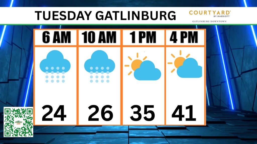
For real-time weather information visit Smokies.LIVE Weather where you can also see a live view of the Smoky Mountains from Ober Mountain.
2 Responses
We live on Webb Mountain n we spend December thru March in Florida. So nice to have this info while our families are still there n we can watch the weather. Thank you so much!😊
I hope to continue this type of information.