

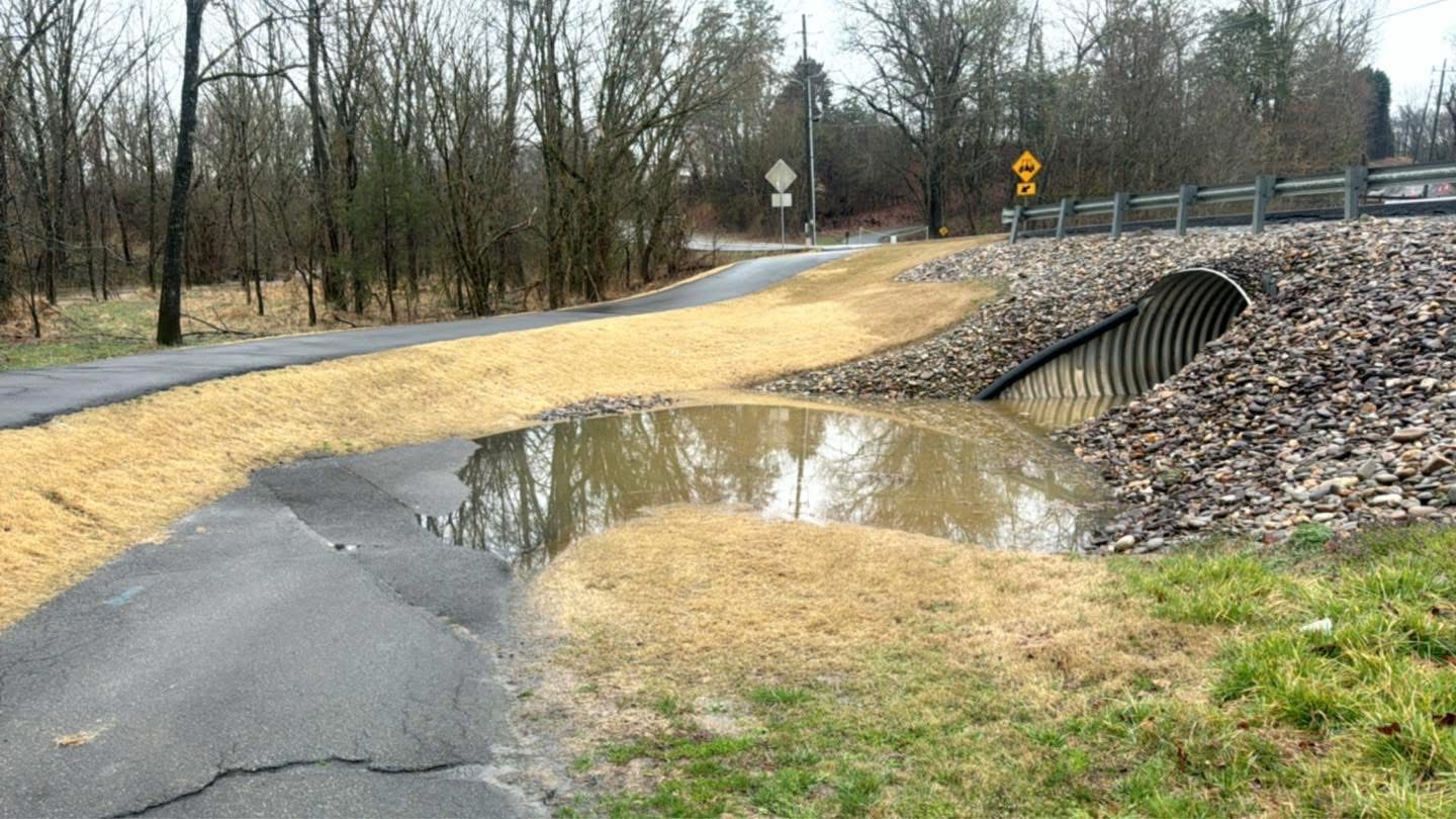
GATLINBURG, Tenn. (Smokies.LIVE Storm Center) — There’s a reason weather forecasts today are paying closer attention to heavy rain, flooding and thunderstorms: a warmer atmosphere can hold more moisture, and that moisture can become fuel for stronger rainfall events.
It starts with something very simple — temperature.
As the atmosphere warms, its capacity to hold water vapor increases. Meteorologists use the Clausius-Clapeyron relationship to describe this process. For every 1 degree Celsius, or 1.8 degrees Fahrenheit, of warming, the atmosphere can hold roughly 6% to 7% more water vapor.
That doesn’t mean every storm becomes stronger, or that it will rain more every day.
Instead, it means that when the right ingredients come together, there can be more moisture available for a storm to work with.
That additional moisture begins with evaporation from oceans, lakes, rivers and soil. More heat can increase evaporation, putting additional water vapor into the atmosphere. When that moist air rises, cools and condenses, it can help build clouds and produce precipitation.
This is where the water cycle becomes especially important.
More heat → more evaporation → more atmospheric moisture → more potential rainfall.
For the Smokies and Southern Appalachians, that matters because our region is already prone to heavy rainfall events. Mountains can force moist air upward, helping storms and rain systems produce significant amounts of precipitation over a relatively short period of time.
A warmer, moisture-rich atmosphere doesn’t create every storm. Weather patterns, fronts, instability, wind shear, terrain and other atmospheric ingredients still determine when and where storms develop.
But when those ingredients line up, additional atmospheric moisture can give a storm more water to work with.
That is one reason Meteorologist Kyle Grainger and the Smokies.LIVE Storm Center continue to closely monitor storms, rainfall rates and flooding potential — not simply whether a storm is coming, but how much moisture that storm is capable of producing.
The numbers can be surprisingly significant. A temperature increase of just 1 degree Fahrenheit corresponds to roughly a 4% increase in the atmosphere’s potential water-vapor capacity under the Clausius-Clapeyron relationship.
That doesn’t automatically translate into 4% more rain.
But it does change the amount of moisture available to the atmosphere.
And when heavy rain falls over the mountains, valleys and communities of East Tennessee and Western North Carolina, every additional inch matters.
This is why tracking the atmosphere isn’t just about watching storms on radar. It’s about understanding the environment those storms are developing in — and recognizing when the atmosphere has the potential to produce significant rainfall.
The atmosphere is a dynamic system. As temperatures change, so does the amount of moisture it can contain. And when that moisture comes together with the right weather pattern, the result can be some very efficient rain-producing storms.
Sources: National Weather Service, NOAA National Centers for Environmental Information and NASA Global Precipitation Measurement Mission.
Meteorologist Kyle Grainger
Smokies.LIVE Storm Center

No responses yet