

Comfortable temperatures arrive just in time for Saturday’s Tennessee game
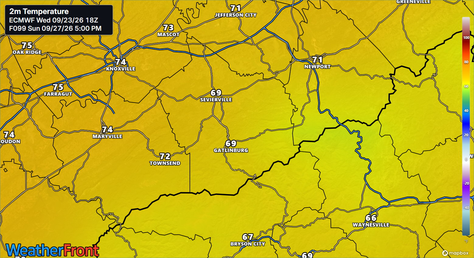
SEVIERVILLE, Tenn. (Smokies.LIVE Storm Center) — A beautiful fall-like weekend is shaping up across East Tennessee and the Smokies, with mostly sunny skies and temperatures in the 70s.
The cooler weather will be especially noticeable compared with the warmer conditions earlier this week.
🏈 UT GAME DAY — SATURDAY
Tennessee kicks off at noon, making for an early start for fans heading to Neyland Stadium.
- 7 a.m. tailgating: Around 49 degrees
- Noon kickoff: Around 68 degrees
- Wind: North around 5 mph
- Afternoon: Comfortable with temperatures in the 70s
If you’re heading to campus early, you’ll want a jacket or extra layer for the morning. Temperatures will gradually climb through the morning.
🌄 GATLINBURG
Friday: Partly sunny early, becoming sunny. High near 75.
Friday night: Mostly clear. Low around 49.
Saturday: Sunny. High near 76. Northwest wind around 5 mph in the afternoon.
Saturday night: Partly cloudy. Low around 51.
Sunday: Mostly sunny. High near 76.
🏔️ BRYSON CITY, NORTH CAROLINA
Friday: Patchy fog before 9 a.m., then partly sunny before becoming sunny. High near 75.
Friday night: Mostly clear. Low around 47.
Saturday: Sunny. High near 77.
Saturday night: Partly cloudy. Low around 48.
Sunday: Mostly sunny. High near 76.
🌤️ THE BOTTOM LINE
This is looking like a beautiful weekend across the Smokies — cool mornings, comfortable afternoons and plenty of sunshine.
If you’re heading to Knoxville for the game, Gatlinburg for a weekend getaway or the North Carolina mountains, the weather should cooperate.
Smokies.LIVE Storm Center Tip: Pack a jacket for those early mornings, especially if you’re tailgating or heading into the mountains. By afternoon, temperatures will be much more comfortable.
Don’t cancel plans — keep Smokies.LIVE Radar handy. 🌤️

No responses yet