

GATLINBURG, Tenn. (Smokies.LIVE Storm Center) — Sunshine is expected to return to the Great Smoky Mountains this weekend, but Saturday morning could start a little slower in the higher elevations.
While forecast models suggest clouds will clear fairly early Saturday, I expect the Smokies to hold onto cloud cover longer through the morning. A few early snow showers or flurries are possible near Mount LeConte before skies gradually clear.
Communities on the North Carolina side of the mountains, including Bryson City, should see sunshine arrive earlier Saturday.
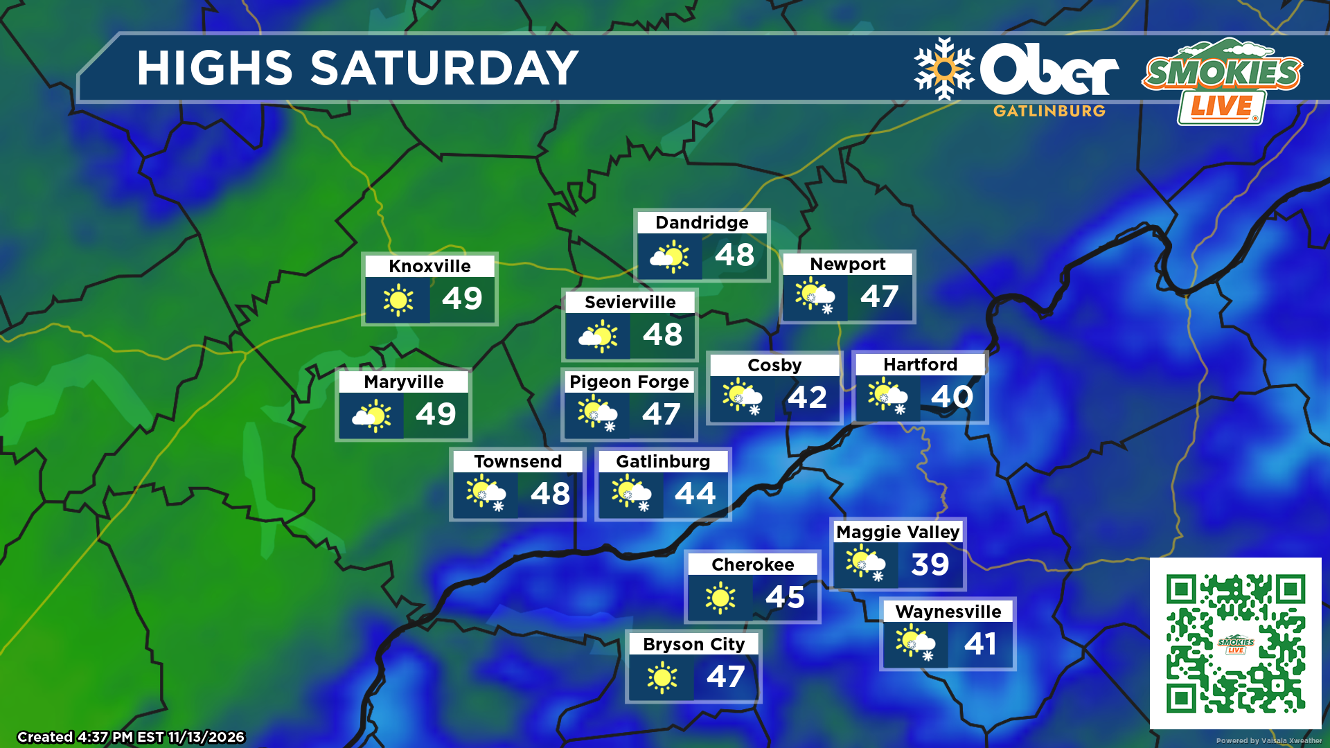
By Saturday afternoon, most communities should enjoy plenty of sunshine, although temperatures will remain on the cool side. Gatlinburg is forecast to reach around 46 degrees, while Bryson City climbs to about 47.
The bigger story this weekend will be the cold mornings.
Clear skies and light to calm winds will allow temperatures to drop into the 20s both Saturday and Sunday mornings. Frost is likely in many mountain communities, especially in sheltered valleys and areas where winds remain calm.
Sunday morning could be particularly chilly for anyone heading to church. Give yourself a little extra time before hitting the road. Frost on windshields and vehicle windows could slow down your departure.
One little trick: If possible, park your vehicle facing east toward the sunrise. The morning sunshine may help warm your windshield and make scraping a little easier.

No responses yet