

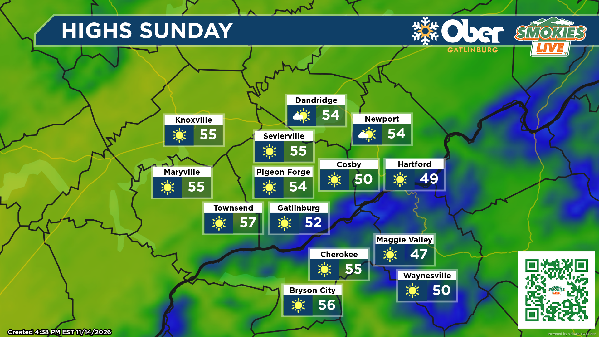
Cooler-than-normal temperatures will gradually give way to a warming trend, with sunshine and dry weather expected across the Tennessee and North Carolina mountains.
GATLINBURG, Tenn. (Smokies.LIVE Storm Center) — The cooler-than-normal temperatures across the Smokies won’t last much longer. A gradual warming trend is expected next week as high pressure builds across the region, bringing plenty of sunshine and keeping rain chances low.
Sunday will start chilly, but sunshine will help temperatures rebound across the Tennessee mountains. Gatlinburg is expected to reach around 51 degrees, with a northeast breeze developing during the afternoon. Overnight temperatures will drop into the upper 20s.
North Carolina’s higher elevations will remain noticeably colder. Waynesville is forecast to reach only around 39 degrees Sunday, with overnight lows falling into the mid-20s.
By Monday, temperatures begin to recover. Gatlinburg should climb to around 55 degrees under sunny skies, while Waynesville reaches the upper 40s. Overnight lows will settle near 30 degrees in both locations.
The warming trend continues into Tuesday, with Waynesville forecast to reach around 50 degrees.
What to expect:
- Sunday: Sunny but chilly, especially across the North Carolina mountains.
- Monday: More sunshine with temperatures beginning to rebound.
- Tuesday: Continued warming with highs reaching around 50 in Waynesville.
- Rain chances: Dry weather is expected to dominate under high pressure.
Even with the warmer afternoons, cold mornings will remain part of the forecast. Keep the jackets handy early in the day, but expect more comfortable conditions as temperatures gradually climb through next week.

No responses yet