

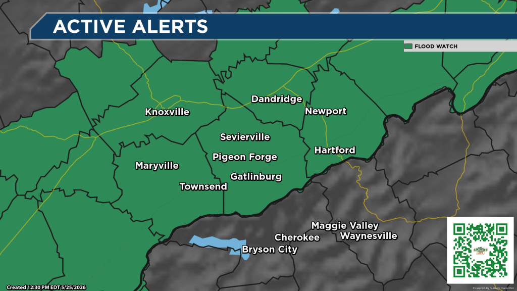
East Tennessee is once again under a Flood Watch with the potential for some heavy rainfall ahead.
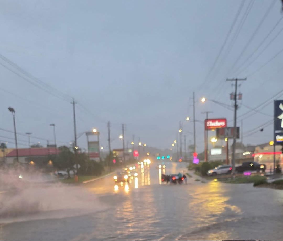
(KNOXVILLE, Tenn.) SMOKIES.LIVE – Torrential rains caused flooding issues across the East Tennessee area on Sunday night. Pictured above is Chapman Highway heading into South Knoxville where cars got stuck in the rising waters.
I believe all of the area could see flooding this afternoon. I am concerned about areas of Sevier County between Gatlinburg, Pigeon Forge and Sevierville.
A Flood Watch is posted again for Monday evening and into Tuesday night. Another round of slow-moving downpours can develop dropping an inch or more of rain after 3 p.m. Thunder and gusty winds can’t be ruled out as well.
When flooding happens, make sure you move to higher ground if you are near creeks and streams. Flood waters can rise quick close to Great Smoky Mountains National Park. In low-lying areas do not try to drive through the water crossing the roadways.
ADDITIONAL DETAILS...
  - Rainfall rates between 1 to 3 inches per hour are expected
    with showers and thunderstorms that move into the region this
    afternoon and evening. These rainfall rates will occur on top
    of poor antecedent soil conditions due to the recent wet
    pattern, and will lead to the risk of isolated flash
    flooding.
No responses yet