

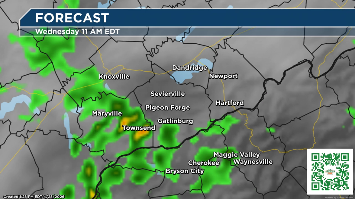
(SEVIERVILLE, Tenn.) SMOKIES.LIVE – The next wave of strong storms with gusty winds and downpours will arrive overnight and into Wednesday morning.
Severe Thunderstorm Watches are posted west of Knoxville until 1 a.m. There is a low chance of a few strong to severe storms, with damaging winds and hail as the main concerns.
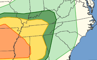
The Storm Prediction Center has 44M people under the risk for severe weather tonight. The Smoky Mountain region is just outside of the primary threat. However, a rogue storm could pop while you are sleeping. Keep alert notifications turned “on” for your phone.
The much-needed rain will be welcome. It’s mostly a rain event for the North Carolina Smoky Mountains. In Cherokee, it’s possible to pick-up about 1/3 of an inch of rain.
Check the latest weather forecast anytime on the Smokies.LIVE WEATHER PAGE. There you can see future radar, current temperatures, and the extended forecast for the Specifically for the Smoky Mountains.
Through the day on Wednesday showers and storms will continue, but not as strong.

No responses yet