

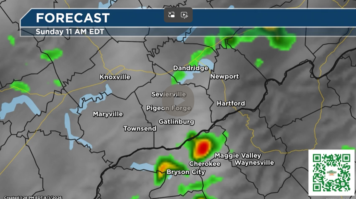
Strong storms are possible Saturday, but the greatest risk is expected to remain west of Knoxville. By Sunday, scattered afternoon storms become the main concern across the Smokies from Gatlinburg to Cherokee.
The Smokies.LIVE Storm Center is tracking a typical summertime weather pattern this weekend, with showers and thunderstorms expected each afternoon and evening. While a few storms could become strong on Saturday, current trends suggest the better chance for severe weather will remain west of Knoxville.
For East Tennessee, including Gatlinburg, expect a mix of clouds and sunshine Saturday with scattered showers and thunderstorms developing between midday and late afternoon. High temperatures will climb into the mid-80s. Storms that develop could produce frequent lightning, heavy downpours and gusty winds, but widespread severe weather is not anticipated in the Smokies at this time.
Saturday night brings a better chance of widespread showers and thunderstorms before activity gradually diminishes toward daybreak Sunday.

On Sunday, the focus shifts toward the higher elevations and communities along the Great Smoky Mountains. From Gatlinburg through Cherokee and Waynesville, scattered afternoon thunderstorms are expected to redevelop as heat and humidity build. While organized severe weather appears unlikely, any storm could produce torrential rainfall, dangerous cloud-to-ground lightning and brief gusty winds. Outdoor plans, especially hiking, tubing and camping, should include a way to receive weather alerts and a plan to seek shelter quickly if storms develop.
Looking ahead to Monday, another round of showers and thunderstorms is expected during the afternoon and evening, with coverage becoming more widespread across both East Tennessee and Western North Carolina.
Smokies.LIVE Storm Center Forecast Highlights
- Saturday: Greatest potential for strong storms remains west of Knoxville. Scattered afternoon storms are expected in the Smokies.
- Saturday Night: Numerous showers and thunderstorms likely across the region.
- Sunday: Pop-up afternoon and evening thunderstorms become more numerous from Gatlinburg to Cherokee and Waynesville.
- Monday: Another active afternoon with widespread showers and thunderstorms developing.
The Smokies.LIVE Storm Center will continue monitoring the forecast through the weekend. While this is not expected to be a washout, remember that a thunderstorm can develop quickly on a summer afternoon, especially in the mountains. If thunder roars, head indoors and wait at least 30 minutes after the last rumble before resuming outdoor activities.

No responses yet