


The storm moved rapidly from Florida to the Southern Appalachians, bringing record rainfall, historic flooding and widespread power outages.
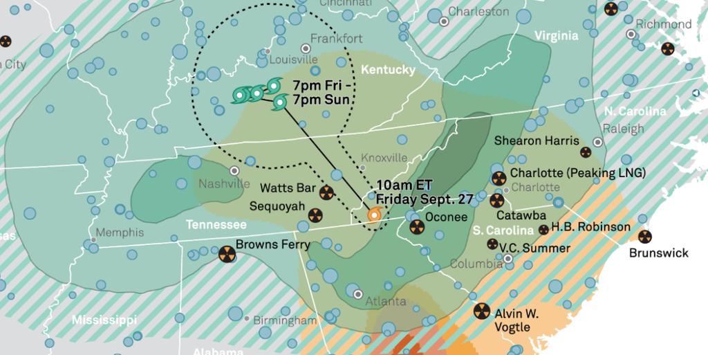
KNOXVILLE, Tenn. (Smokies.LIVE Storm Center) — Hurricane Helene made landfall in Florida’s Big Bend region late Sept. 26, 2024, before rapidly moving north into Georgia and across the Southern Appalachians the following day.
Helene was moving at more than 20 mph as it traveled through Georgia and into the mountains on Sept. 27. The storm gradually weakened and dissipated to the northwest by Sept. 29.
The storm brought record-breaking rainfall to portions of the Southern Appalachians, with the impacts worsened by rainfall that had already saturated the region.
Historic flooding and devastation occurred across portions of the far eastern Tennessee mountains, while communities farther east experienced even more widespread impacts.

Helene also brought strong winds to the region, with gusts ranging from 40 to 60 mph in areas of East Tennessee.
Those winds caused extensive and long-lasting power outages across the region, adding to the challenges created by flooding and storm damage.
The event broke rainfall records and produced historic river flooding across parts of the Southern Appalachians.
The Tennessee State Climate Office at East Tennessee State University has documented the event in detail, including the meteorological conditions, radar and wind data, and rainfall records associated with Helene.
The event serves as a detailed look at how a rapidly moving tropical system, combined with already saturated ground, produced catastrophic flooding across the Southern Appalachians.
CHECK OUT THE STATE CLIMATE OFFICE REPORT
No responses yet