

Emergency officials warn of damaging wind gusts, potential power outages and isolated flash flooding through the weekend
GATLINBURG, Tenn. (Smokies.LIVE Storm Center) — Sevier County emergency officials are preparing for the impacts of Hurricane Isaias as the storm’s remnants move toward the region, bringing the threat of strong winds, power outages and heavy rainfall through the weekend.
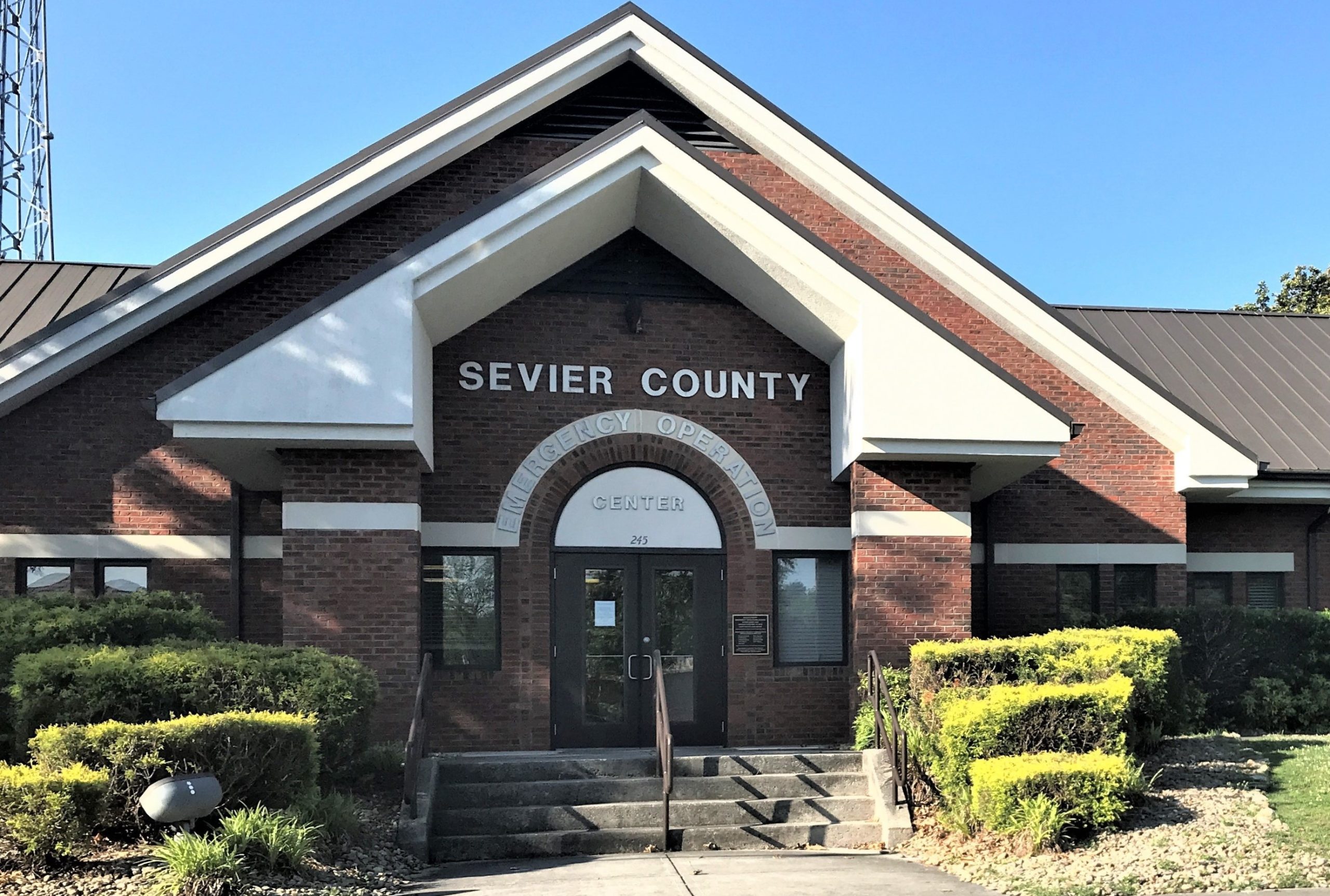
Sevier County emergency personnel met Friday at the new Sevier County Public Safety Center for a weather briefing with the National Weather Service to review the forecast and coordinate preparations.
Strong winds are expected to be the primary concern, with conditions beginning to deteriorate overnight Friday and continuing through Saturday.
A High Wind Warning is in effect for the mountains from midnight Friday through 8 a.m. Sunday. Wind gusts of 60 mph or higher are possible across the mountains and foothills, with isolated gusts reaching 70 mph in warned areas. Elsewhere in Sevier County, gusts of 30 to 40 mph are possible.
The strongest winds are forecast for Saturday morning into the afternoon. Officials warn that the conditions could topple trees, bring down power lines, cause widespread power outages and make travel difficult, particularly in higher elevations and exposed areas.
Newfound Gap Road closes as Isaias brings wind threat to the Smokies – Smokies Live
Heavy rainfall is also expected Saturday morning, with isolated flash flooding possible. Residents and visitors are urged to avoid flooded roadways and never drive through standing or moving water.
Winds are expected to gradually weaken Sunday, although gusty conditions could persist in the mountains.
Sevier County officials are encouraging residents and visitors to take precautions before the strongest conditions arrive. Outdoor furniture, trash cans, decorations and other loose objects should be secured or brought indoors. Residents should charge phones and essential devices and keep flashlights, batteries and emergency supplies nearby in case of power outages.
Drivers should use caution, particularly those operating high-profile vehicles that can be affected by strong crosswinds. Officials also warn people to stay away from downed power lines and report hazards to utility providers or emergency personnel.
Residents and visitors are encouraged to monitor weather forecasts and official county updates and to ensure weather alerts are enabled on their phones.
Emergency notifications are available through CodeRED at sevierema.org.
Sevier County Emergency Management Agency and its response partners will continue monitoring conditions and sharing updates as needed.
Officials remind the public to call 911 for emergencies.

No responses yet