

Heat index could reach 105 before storms arrive Saturday afternoon.
KNOXVILLE, Tenn. (Smokies.LIVE Storm Center) — The heat is sticking around one more day.
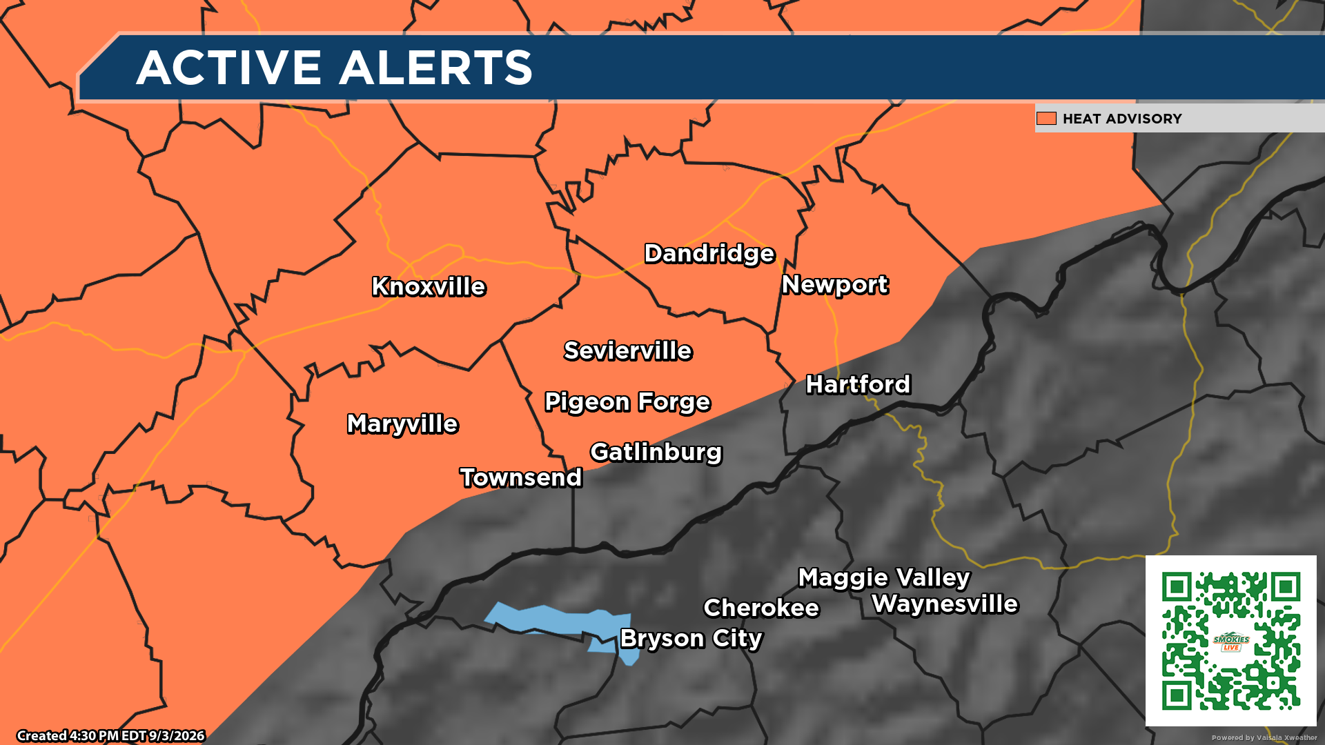
The Heat Advisory has been extended through 8 p.m. EDT Saturday across portions of East Tennessee.
Afternoon heat index values are expected to reach or exceed 100 degrees, with some valley locations approaching or slightly exceeding 105 degrees during the late-afternoon peak.
That means Saturday could bring a dangerous combination: extreme heat first, followed by the potential for strong to severe thunderstorms.
🌡️ Heat peaks Saturday afternoon
The most intense heat is expected during the late afternoon, particularly in valley locations.
Hot temperatures combined with high humidity can increase the risk of heat-related illness.
Drink plenty of fluids, stay in air conditioning when possible, avoid prolonged time in the afternoon sun and check on relatives and neighbors.
⛈️ Storms follow the heat
The Smokies.LIVE Storm Center is also watching a Level 2 of 5 severe weather risk for Saturday afternoon and evening.
Storms could develop beginning around 3 p.m. Saturday and continue into the overnight hours, potentially through 1 a.m. Sunday.
The greatest concerns are damaging wind gusts of 60 mph or greater and large hail.
If you’re heading outside Saturday, have a way to receive weather alerts and know where you can quickly take shelter.
Smokies.LIVE Storm Center — heat first, storms later. Stay weather-aware.
No responses yet