

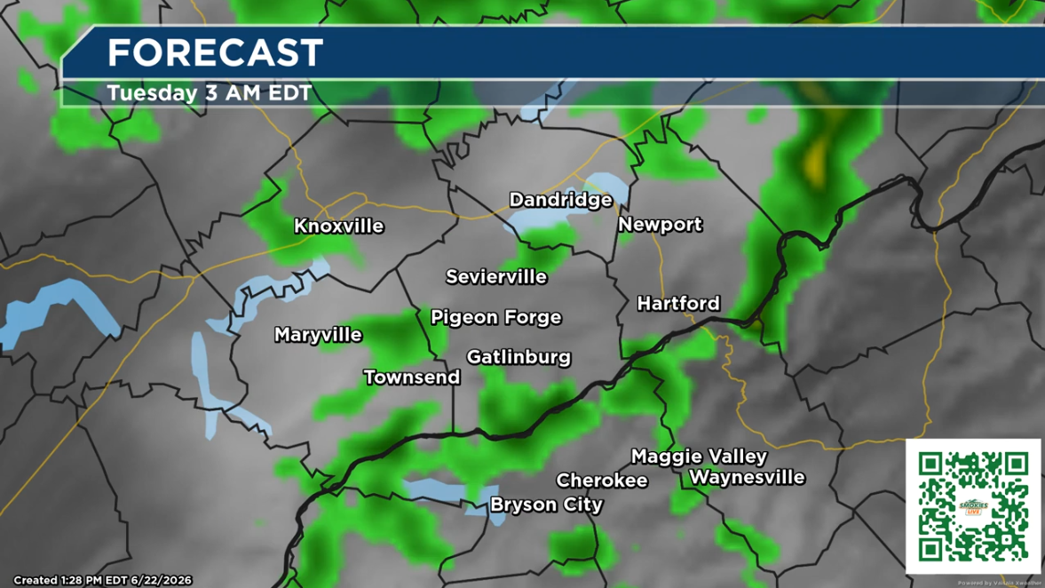
Storms moving across the Great Smoky Mountains on Monday night will bring gusty winds and a flooding threat due to soaking rains.
(SEVIERVILLE, Tenn.) SMOKIES.LIVE – Storms on Monday can bring winds up to 60 mph and a threat for localized flooding with heavy downpours.
Update: The strongest storms are expected to move through the Southern Smokies.
Up to an inch of rain is possible from Gatlinburg to a half an inch in Maggie Valley.
Have a way to get alerts overnight. Storms will become the strongest right before sunset. The threat is from Knoxville to Cherokee and all points in between in the Great Smoky Mountains.

An isolated tornado cannot be ruled out. 60 mph winds will bring down some trees and tree limbs even without a tornado.
The Storm Prediction Center has the entire area of East Tennessee and Western North Carolina under a level 2 risk for severe weather. This means short-lived and widespread intense storms are possible.

The threat does come to an end before many would head to bead. You do need to pay close attention to the active weather moving across the area if you are near a creek or stream that is prone to flooding. Seek higher ground if a river or stream starts to rise quickly. In many cases they would be near a campground, so listen for alerts in your area. Turn the alert notifications up on your phone.
The Smokies.LIVE Weather page will continue to update weather conditions LIVE. Follow along for alerts from Kyle Grainger by joining this notification system for an alert from Facebook.

No responses yet