

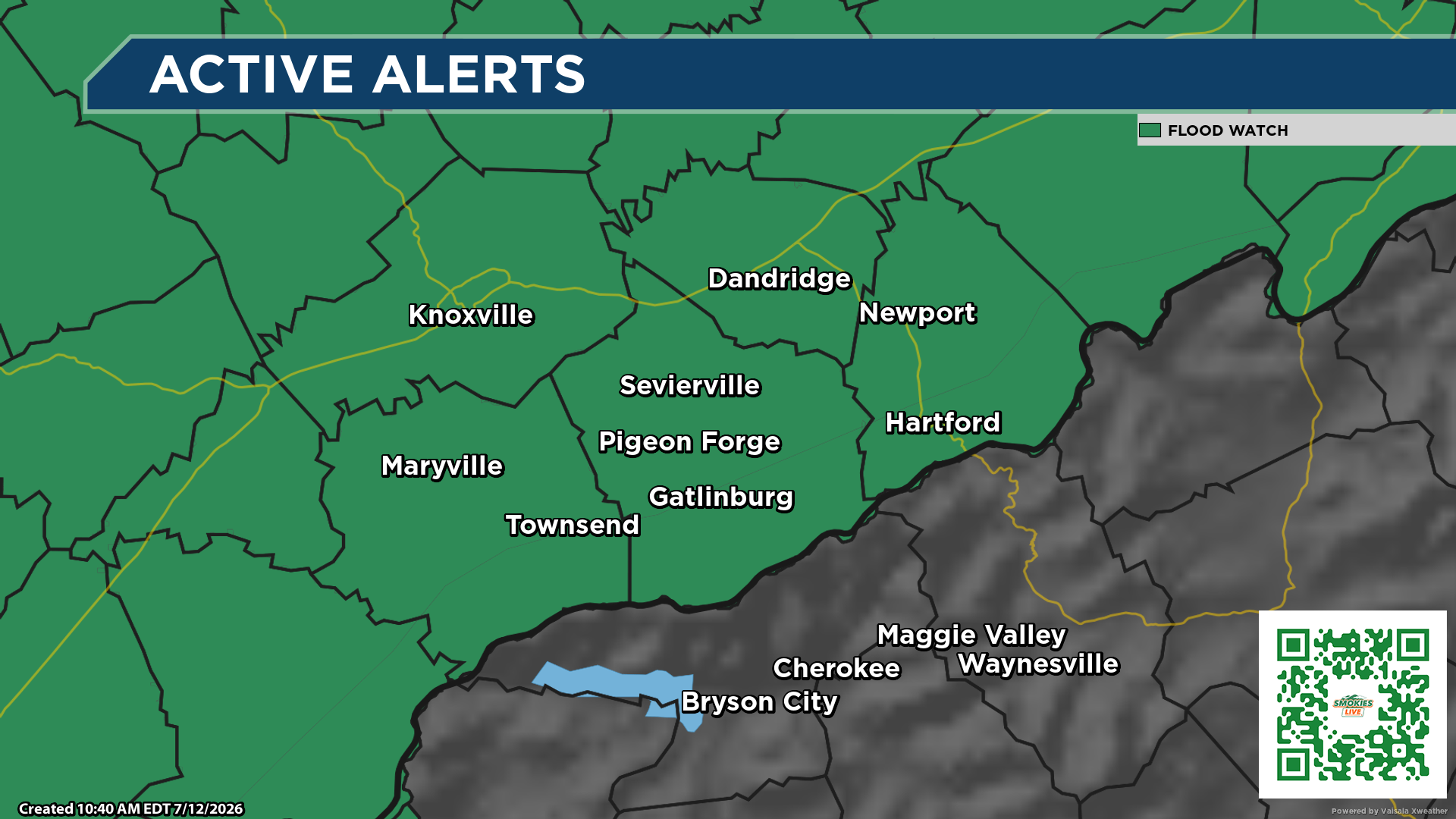
Meteorologist Kyle Grainger warns that repeated rounds of heavy rain could trigger flash flooding across East Tennessee, southwest North Carolina and southwest Virginia, especially in areas already saturated by recent rainfall.
Sevierville, Tenn. (Smokies.LIVE) – A Flood Watch remains in effect through late tonight across much of East Tennessee, southwest North Carolina and southwest Virginia.
We’re expecting multiple rounds of showers and thunderstorms today and tonight. While not everyone will see flooding, areas that receive repeated heavy downpours could experience flash flooding very quickly.
The greatest concern is this morning through tonight, especially in locations that have already received heavy rain in recent days. Saturated ground means it will take less rainfall to cause creeks and streams to rise, roads to flood and water to collect in low-lying and poor drainage areas.

If you live near a creek, stream or flood-prone area, stay weather aware throughout the day. Conditions can change rapidly if heavy rain develops over the same location.
If you encounter water covering a roadway, Turn Around, Don’t Drown. Just a small amount of moving water can sweep away a vehicle, and it’s often impossible to tell how deep the water really is.
The Smokies Storm Center will be monitoring conditions around the clock and will provide updates if Flash Flood Warnings are issued or flooding develops.
Stay safe and stay weather aware.
— Meteorologist Kyle Grainger, Smokies.LIVE Storm Center
Watch the Smokies.LIVE Weather stream to see live cameras and current conditions across the Smoky Mountains.

No responses yet