

From the Smokies.LIVE Storm Center
Meteorologist Kyle Grainger
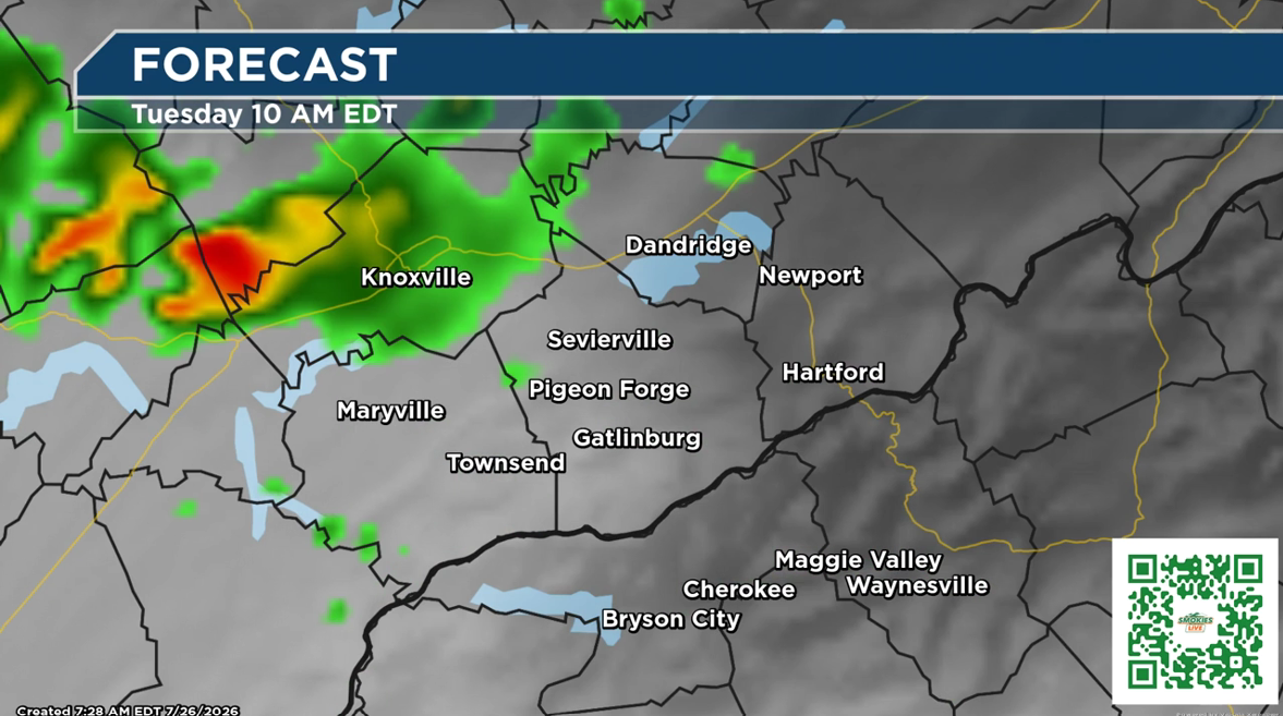
We have a quieter start to the week, but I want to give you an early heads up for Tuesday. Several rounds of showers and thunderstorms are possible over the next few days, and one round could bring stronger storms.
Here’s what you need to know:
🌧️ Tonight into Monday
- Scattered showers and thunderstorms are possible.
- If multiple storms move over the same location, isolated flooding could occur.
- Monday looks mostly dry, but a few afternoon showers or storms are possible.
- Temperatures warm into the mid to upper 80s.
🔥 Heat Builds Monday & Tuesday
- A warming trend continues into Tuesday.
- Heat index values could climb into the mid-90s to near 100 degrees, especially across the Tennessee Valley.
- Stay hydrated if you are working or spending extended time outdoors.

⛈️ Tuesday Storm Threat
This is the day I’m watching closely.
- Showers and thunderstorms become more likely Tuesday afternoon and evening.
- The greatest risk for strong to severe storms is across northeast Tennessee and southwest Virginia.
- The main concern: strong to damaging wind gusts.
- A few storms could become intense, so have a way to receive weather alerts if you have outdoor plans.
📍Gatlinburg Forecast
Monday: Mostly sunny with a slight chance of an afternoon shower or storm. High 88°.
Tuesday: Hot and partly sunny early, then storms become likely after 2 p.m. High 90°.
- Storm chance: 70%
- Wind gusts possible up to 20 mph
- Tuesday night: Showers and a few storms continue. Storm chance 80%.
📍Waynesville Forecast
Monday: Mostly sunny with a slight afternoon storm chance. High 84°.
Tuesday: Partly sunny with a 40% chance of showers and thunderstorms, mainly after 2 p.m. High 86°.
- Tuesday night: Storm chances continue before gradually ending.
Kyle’s Take
Tuesday is not a washout, but it is a day to stay weather aware, especially if you have outdoor plans. The mountains can change quickly, and a storm that looks small on radar can bring strong winds and heavy rain.
Keep Smokies.LIVE Radar handy, and we’ll continue updating you as we get closer to Tuesday. You don’t have to cancel plans — just stay informed and know when to adjust.

No responses yet