

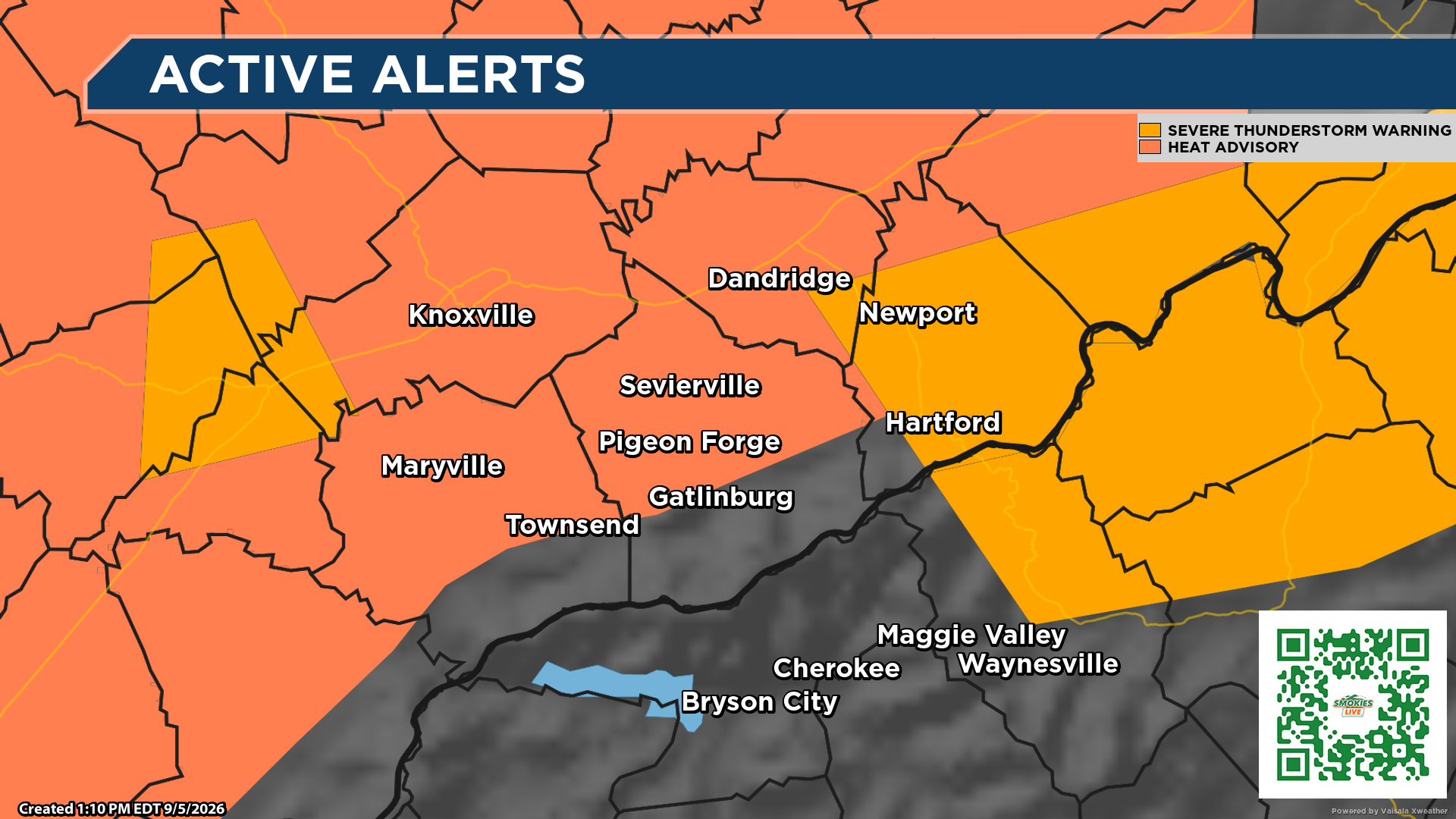
60 mph wind gusts and penny-size hail possible through 2 p.m.
KNOXVILLE, Tenn. (Smokies.LIVE Storm Center) — The National Weather Service has issued a Severe Thunderstorm Warning for parts of East Tennessee.
The warning includes:
- Southeastern Morgan County
- Northeastern Loudon County
- Southwestern Knox County
- Southwestern Anderson County
- Northeastern Roane County
The warning is in effect until 2 p.m. EDT.
At 1:03 p.m., a severe thunderstorm was located over Oliver Springs, near Oak Ridge, and was moving south at 15 mph.
⚠️ HAZARDS
60 mph wind gusts and penny-size hail are possible with this storm.
Strong winds can bring down tree limbs and power lines and can cause scattered power outages.
If you’re in or near the warning area, take shelter now. Move indoors, away from windows, and stay there until the warning expires or the storm has safely passed.
Do not wait until you hear thunder to take action.
Stay with the Smokies.LIVE Storm Center for updates as this storm moves south.
When thunder roars, go indoors.
Smokies.LIVE Storm Center — Watching the Weather. Keeping You Ahead.
No responses yet