

Swain and Haywood counties should monitor changing conditions. Flash flooding possible Saturday into Saturday night.
GATLINBURG, Tenn. (Smokies.LIVE Storm Center) — The threat of heavy rainfall and flash flooding is increasing across portions of the southern Appalachians as Isaias moves through the Southeast this weekend.
A Moderate Risk of Excessive Rainfall has been issued for parts of the western Carolinas southward into northern Georgia, including western North Carolina.
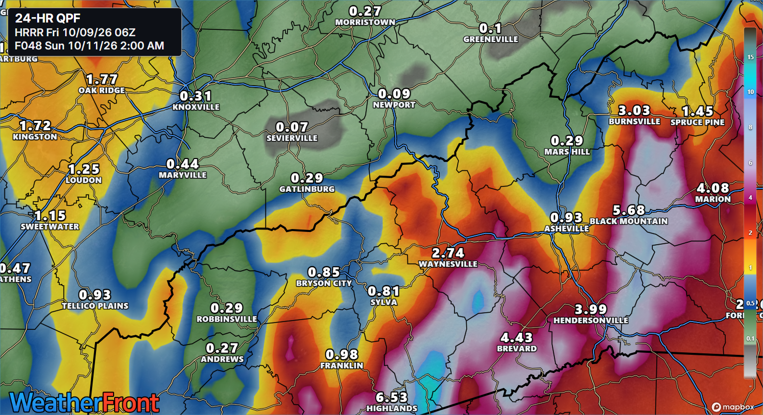
Forecast rainfall amounts have increased in the upslope areas of western North Carolina, with some guidance now indicating 3 to 5 inches of rain. Mountain terrain can enhance rainfall, raising concerns for rapid runoff and flash flooding.
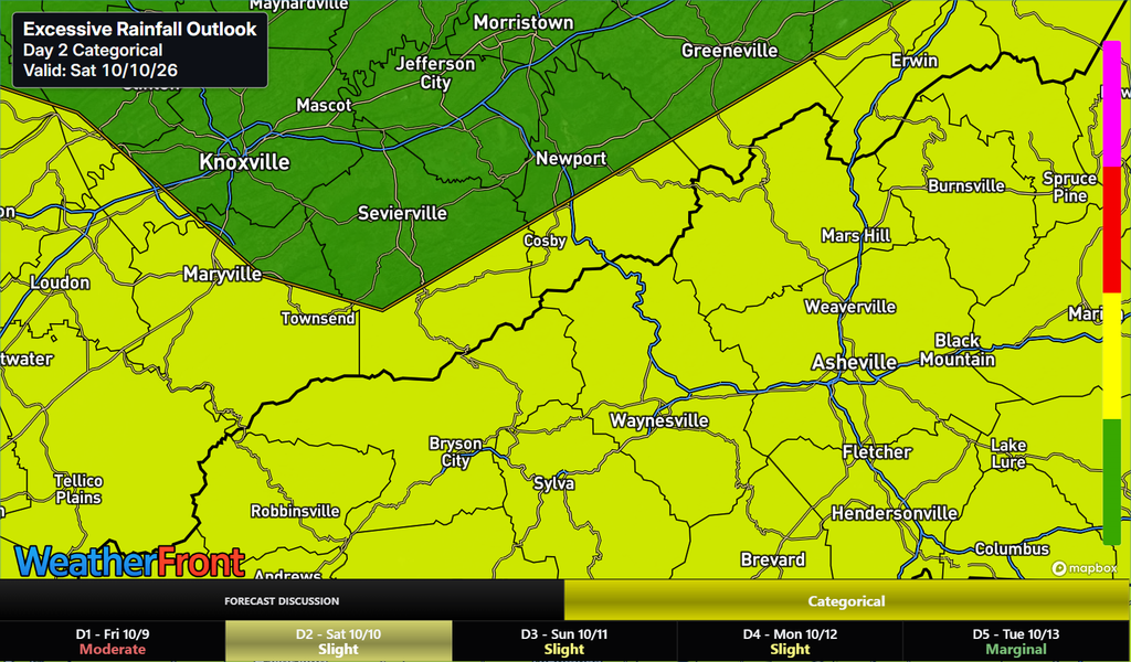
The greatest concern is Saturday and Saturday night, when periods of heavy rain could lead to flooding, particularly in areas prone to rapid rises in creeks and streams.
Residents and visitors across Swain and Haywood counties and the surrounding mountains should monitor forecast updates, remain alert for changing conditions and never drive through flooded roadways.
Smokies.LIVE Storm Center will continue tracking rainfall trends and the potential for flooding as updated forecasts become available.

No responses yet