

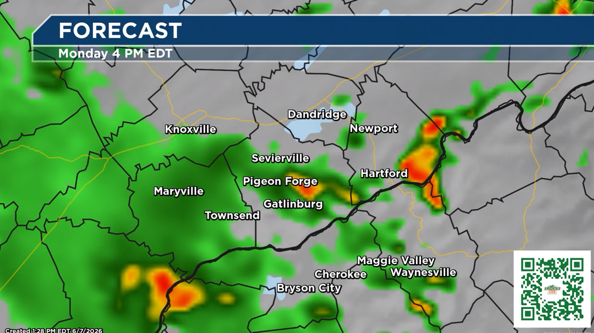
The National Weather Service has issued a Flood Watch for East Tennessee as rounds of rain is set to come through starting Monday.
(SEVIERVILLE, Tenn.) SMOKIES.LIVE – The flood watch means flooding is possible for the area. We could have some creeks, streams and other areas rise quickly with heavy rainfall.
FLOOD WATCH IN EFFECT FROM MONDAY MORNING THROUGH MONDAY
EVENING…
* WHAT…Flash flooding caused by excessive rainfall is possible.
* WHERE…Portions of southwest North Carolina, including the
following areas, Cherokee and Clay and east Tennessee, including
the following areas, Anderson, Bledsoe, Blount Smoky Mountains,
Bradley, Campbell, East Polk, Hamilton, Knox, Loudon, Marion,
McMinn, Meigs, Morgan, North Sevier, Northwest Blount, Northwest
Monroe, Rhea, Roane, Scott TN, Sequatchie, Sevier Smoky Mountains,
Southeast Monroe, Union and West Polk.
* WHEN…From Monday morning through Monday evening.
* IMPACTS…Excessive runoff may result in flooding of rivers,
creeks, streams, and other low-lying and flood-prone locations.
* ADDITIONAL DETAILS…
– Showers and thunderstorms will move into the area Monday,
some with very heavy rainfall. Rainfall rates of 1 to 3
inches per hour will be possible and some locations will
already heave wet ground, which will lead to the risk of
isolated flash flooding especially in areas that see repeated
or prolonged periods of heavy rain.
No responses yet