

Heavy rain and repeated thunderstorms could trigger flash flooding this weekend.
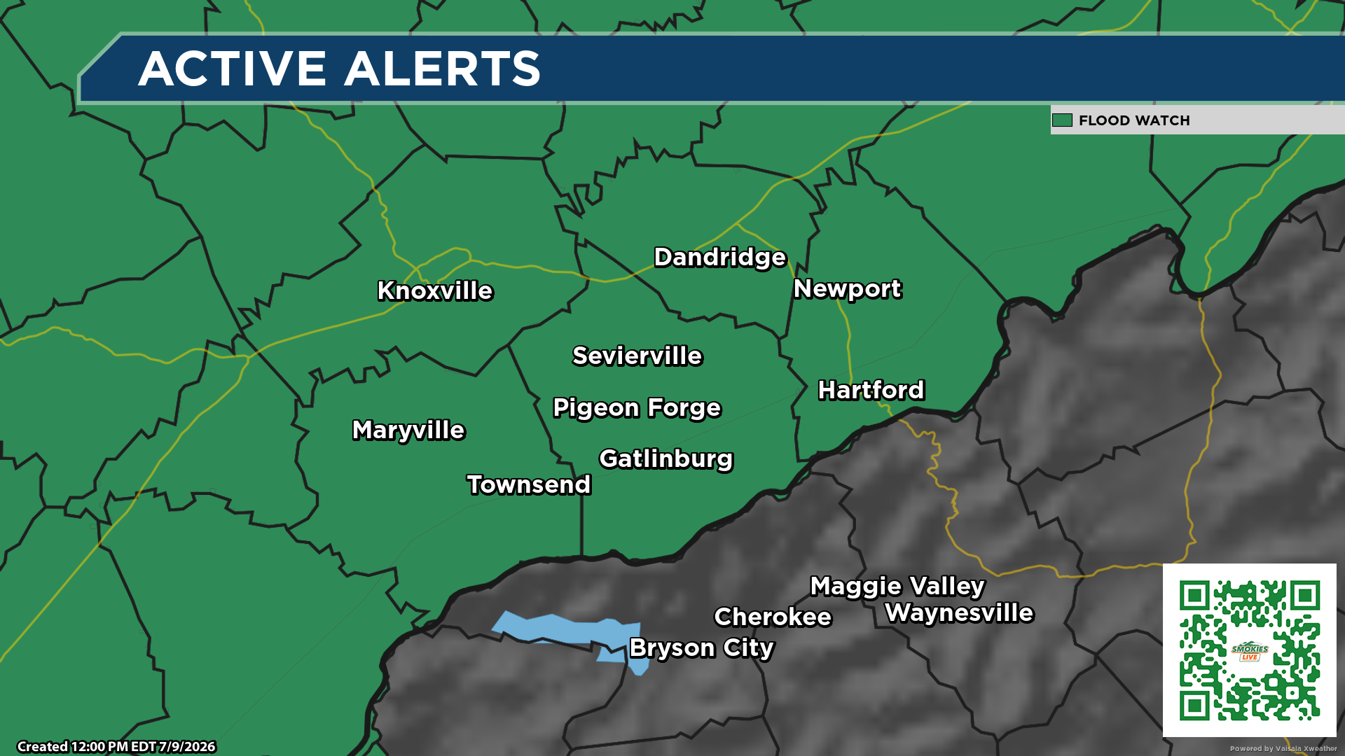
KNOXVILLE, Tenn. (SMOKIES.LIVE) — The National Weather Service has issued a Flood Watch for much of East Tennessee, southwest North Carolina and southwest Virginia as multiple rounds of heavy rain are expected to move through the region this weekend.
The watch is in effect from Friday afternoon through Sunday evening and includes the Great Smoky Mountains, Sevier County, Knox County, Grainger County, Blount County, Cocke County, Jefferson County, Hamilton County and dozens of surrounding counties.
Forecasters say periods of showers and thunderstorms are expected Friday through Sunday, with the greatest threat for flash flooding developing Friday night into Saturday when rainfall is expected to become more widespread.

The National Weather Service warns that areas receiving repeated rounds of heavy rain could experience rapid rises on creeks and streams, along with flooding in low-lying, poor drainage and urban areas.
While not everyone will experience flooding, officials say localized heavy rainfall could quickly overwhelm drainage systems and produce dangerous travel conditions.
Residents living near flood-prone areas are encouraged to closely monitor the forecast through the weekend and be prepared to move to higher ground if flash flood warnings are issued.
Motorists are reminded never to drive across flooded roadways. Even a small amount of moving water can sweep a vehicle off the road.
SMOKIES.LIVE will continue to monitor the evolving weather situation and provide updates as new watches or warnings are issued. Tune into Smokies.LIVE Weather 24/7 for the latest from the Smokies Storm Center.

No responses yet