

Keep the umbrella close, but don’t cancel your outdoor plans just yet.
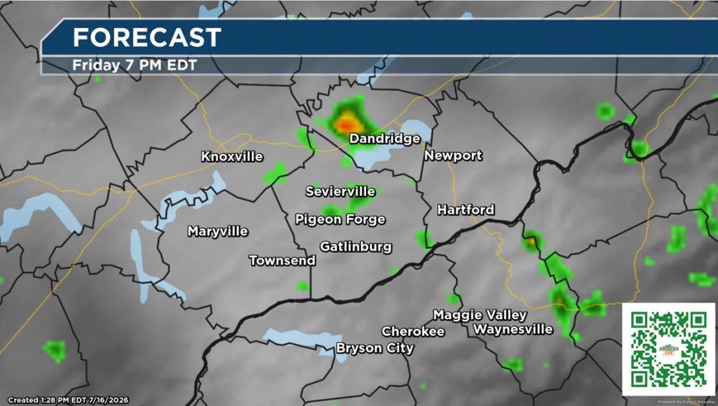
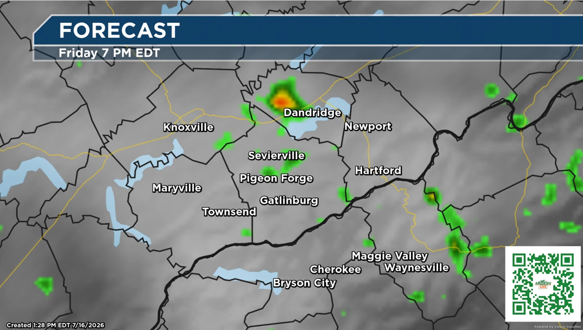
Sevierville, Tenn.(SMOKIES.LIVE) – The Smokies.LIVE Storm Center is tracking another stretch of typical summertime weather, with scattered to numerous showers and thunderstorms expected each afternoon through at least Sunday.
While not everyone will see rain, any storm that develops could quickly become strong, producing gusty winds, frequent lightning, and torrential downpours that may lead to localized flooding in poor drainage areas.
Meteorologist Kyle Grainger says the best approach is to plan around the weather rather than avoid it.
“Most of the day will be dry, but where it rains, it could pour. Keep an eye on the radar before heading outdoors and have a place to take shelter if thunderstorms develop.”
Looking ahead, the rain chances won’t disappear, but heat and humidity will become the bigger story. By late next week, afternoon heat index values are expected to climb into the upper 90s to near or above 100 degrees, making it feel much hotter than the actual air temperature.
The Smokies.LIVE Storm Center recommends staying hydrated, taking frequent breaks if you’re working or playing outside, and checking the latest radar before heading out each afternoon.

🍅 Smokies.LIVE Storm Center Forecast: Grainger County Tomato Festival
Planning to head to Rutledge for the Grainger County Tomato Festival this weekend? The weather looks like a typical East Tennessee summer setup — hot, humid, and with storm chances increasing into Saturday.
Friday will likely be the better weather day, with temperatures around 88 degrees by noon and a heat index near 96 degrees. Clouds will build through the afternoon, with a 20% chance of isolated thunderstorms into the evening. Any storms that develop could bring a quick downpour and a rumble of thunder, but most festival activities should stay dry.
Saturday brings a higher storm chance, with scattered thunderstorms possible through about 9 p.m. Storm coverage increases to around 60%, with rainfall amounts generally between one-tenth and one-quarter of an inch. A passing storm could briefly impact outdoor events, so keep the Smokies.LIVE Radar handy before heading out.
The forecast doesn’t look like a washout — just be prepared for summer heat, humidity, and a few passing storms. Stay hydrated, take breaks from the sun, and enjoy one of East Tennessee’s favorite summer traditions — the Grainger County Tomato Festival! 🍅
Smokies.LIVE Storm Center — helping you plan your weekend.

No responses yet