


(SEVIERVILLE, Tenn.) SMOKIES.LIVE – Rainfall settles in today and as cold air arrives we’ll see a transition to snow.
The possibility is high for roads in the Smokies to close Wednesday evening due to a snow threat.
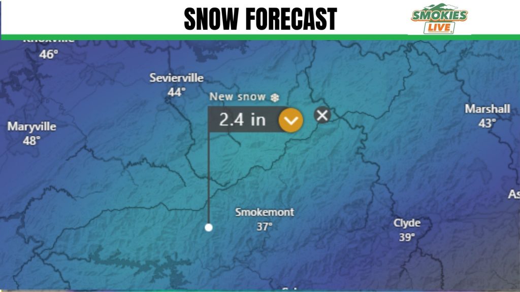
I think areas closest to the Smokies will nudge close to 2.0 inches for areas around Gatlinburg, Pittman Center and Cherokee, NC. An inch at best the closer to Pigeon Forge.
A system will works its way closer to the mountains on Wednesday and start as rain before turning over to snow in the afternoon and evening hours. Those snow showers will continue into Thursday mid-day.
This will result in accumulating snows for the Great Smoky Mountains tapering down to a few inches to a dusting for adjacent foothills. Hikers in the Great Smoky Mountains should be prepared for a cold hike through the weekend.
A second shot of moisture in the form of snow will ride more from the south over the weekend. This has the potential to bring additional snows to the mountains and even impact parts of the Tennessee valley.
Both of these will need to be watched through the week.
This forecast is valid as of 8:00 p.m. Monday, January 12, 2026. You should seek the latest weather information in Smokies.Live Weather section of the website.
4 Responses
I’m ready for some snow, not on the 19th, I have an appointment…lol
Well, what are we going to do?
Go to the store Kyle! lol
Darn. I thought we might get away without any snow this year! Oh well. I can hibernate! Be careful out there everyone.