


(SEVIERVILLE, Tenn.) SMOKIES.LIVE – There will be snow chances overnight and into Sunday for areas closest to the Great Smoky Mountains.
Rain moving in Saturday evening will transition to snow for Sevierville, Newport, Cherokee and Maggie Valley overnight and through the day on Sunday. Snow showers will linger for the higher elevations through the day on Monday.
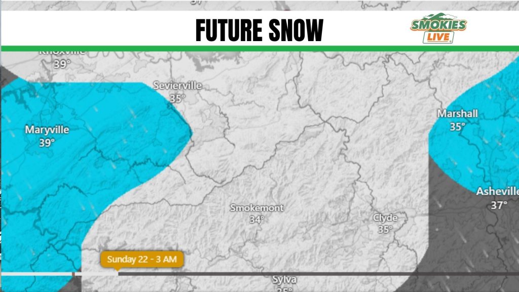
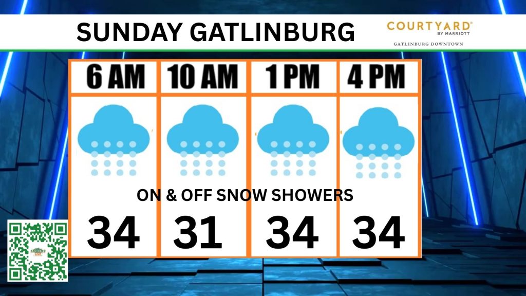
The transition to snow will happen after midnight on Sunday morning. Accumulations will be minimal at most. There could be close to half an inch of snow Gatlinburg to Cherokee by Monday morning.
A Winter Weather Advisory is posted for up to 3 inches in the valleys of the Western North Carolina mountains of Haywood County. 4 to 7 inches of snow will be possible for the highest elevations of the Smoky Mountains through Midnight Monday.
The heavy snowfall could make some roads impassable. Winds gusting near 50 mph could result in blowing snow.
Newfound Gap Road in the Great Smoky Mountains has already closed due to the winter weather threat.
For the latest weather conditions visit Smokies.LIVE/Weather.
No responses yet